Less Humid Tonight & Friday, Hot Weekend but Rain Likely Sunday
Thursday Night Forecast Update
Thursday Night Forecast Update for June 23rd:
Behind the weak front, temperatures are about 5° cooler today then yesterday, but the humidity is lower as well. That will continue for Friday across West Tennessee. We are looking at a hotter weekend but also a chance for showers & storms to move through the region on Sunday. Cooler weather appears to be on the way for next week. Catch the latest details on the timing of the weekend’s rain chances plus the latest of how hot temperatures are going to get on Saturday; coming up right here.

SOMETHING NEAT IN THE SKIES:

DROUGHT CONCERNS:
After a very wet start to 2022, things have quieted down very quickly since April 1st here in Jackson. We were about 1/2″ below normal for April, 1.5″ below for May and now another 1.5″ below so far for June.

This has led to dry conditions, including a moderate drought to creep back in to some areas in West Tennessee. Let’s hope we all pick up some rain on Sunday because that appears to be our only chance over the next 7 days.

TONIGHT:
Behind last night’s weak front, temperatures have only dropped a few degrees, but the humidity made it feel much cooler. Overnight lows will fall down to the mid 60s and a light breeze will continue out of the north. Clear skies will remain for most of the night across West Tennessee.
FRIDAY:
Temperatures will begin to warm back up quickly and another round of sunshine is on tap for West Tennessee on Friday. Highs will reach the low to mid 90s and the winds will be light out of the northeast. The wind direction will again keep the humidity in check on Friday so the heat index will not be a major factor during the day. Rain showers or storms are not in the forecast as of now for Friday. Friday night lows will dip down to the upper 60s or around 70°,
THE WEEKEND:
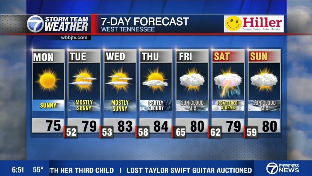
Another hot weekend is in store for most of West Tennessee, but there is a decent shot at some shower or weak storm activity on Sunday. Highs on Saturday will reach the mid to upper 90s, but with the winds coming out of the east, it will be a pretty dry heat for Mid South standards. Highs on Sunday may be a degree or two warmer depending on the timing of the next system. Mostly sunny skies will dominate on Saturday but some cloud cover will return on Sunday as the next system and front will approach the region. We could see some shower or storm activity in the afternoon and evening Sunday, but overall confidence in anything significant as far as severe weather is quite low as of now. The good news is, everyone will pick up a decent chance for some rain showers. Saturday night will fall into the mid 70s and Sunday night will drop back down into the upper 60s behind the weak front.

NEXT WEEK:
Next week we might finally see temperatures dropping down near or below normal for a few days. We could see a few showers lingering overnight Sunday into Monday morning but we should be dry by sunrise Monday. Highs on Monday behind the front will only make it into the low to mid 80s. We will be a few degrees warmer on Tuesday and back up into the upper 80s for Wednesday. Some clouds may stick around during the first half of the day on Monday but mostly sunny skies are expected for the middle of the upcoming work week. Overnight lows will into the mid 60s on Monday morning and down near 60° for Tuesday and Wednesday nights. The winds will come out of the north on Monday and turn to the east towards the middle of the week.
FINAL THOUGHT:
We saw our first +95° day on the year last week and some mid to upper 90s are expected over the next few weeks as well. Meteorological Summer started on June 1st, but the official start of summer will be on Tuesday June 21st, and there will be more chances for severe weather though as we approach the start of summer. So you need to stay weather aware to changing weather patterns and monitor the forecasts closely. We got you covered in the WBBJ 7 Storm Team Weather Center as always.
For tips on preparing for the storms, click here. To download the WBBJ 7 Weather app, click here.
Storm Team Chief Meteorologist
Joel Barnes
Facebook: @JoelBarnesWeather
Twitter: @JoelBarnes13
Instagram: @joelbarnes13


