T-Storms Likely Throughout Today, Mostly Sunny Sunday
Saturday Morning Forecast Update
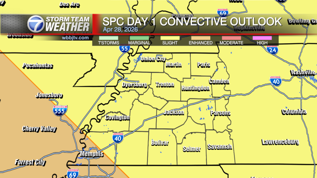
Good morning #WestTennessee! ![]() Starting off the weekend on a rainy and stormy note. T-storm chances are likely all throughout today.
Starting off the weekend on a rainy and stormy note. T-storm chances are likely all throughout today.
TODAY:
Showers and thunderstorms likely, mainly before 10am. Partly sunny, with a high near 89. West wind 5 to 10 mph. Chance of precipitation is 60%. New rainfall amounts between a half and three quarters of an inch possible.

TONIGHT:
A 30 percent chance of showers and thunderstorms, mainly before 8pm. Partly cloudy, with a low around 70. West wind around 5 mph becoming calm in the evening.

TOMORROW:
Mostly sunny, with a high near 91. Light west wind becoming northwest 5 to 10 mph in the afternoon.

7 DAY FORECAST:
Mostly sunny and dry week for the most part with light rain chances throughout, mainly towards the end of the week. There will be a gradual increase in temperatures, reaching upper 90s and possible triple digits in some counties by Wednesday.

Please stay weather aware tonight. Stay with us on air and online as we have more information. For tips on preparing for the storms, click here. To download the WBBJ 7 Weather app, click here.
Michelle Diaz
Storm Team 7 Forecaster
Twitter – @michellediaztv
Facebook – Michelle Diaz – WBBJ 7
Email – mdiazsanchez@wbbjtv.com