Another Tornado Watch Out Until 10pm Tuesday Night
WBBJ 7 Forecast Update
WBBJ 7 Forecast Update:
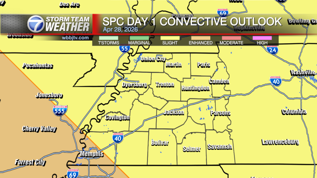
Another tornado watch has been issued for all of West Tennessee again until 10pm. Storms are going to cross into our area during the 3pm hour and track to the east. The severe storm threat should clear out around sunset. The storms will move through the Jackson area around 5pm. A couple tornadoes will be possible as well as some large hail and strong straight line winds again. Please stay weather aware this evening and stay with WBBJ online and on TV as the storms move through our area. Catch the full forecast right here.

THIS WEEK:
Tuesday was warm and humid again with highs reaching the low 80s and the winds staying out of the south. We saw a mostly cloudy day but a few peeks of sunshine showed up. More storms are expected after 4pm and continue through the evening. More severe weather looks likely at this time for many of us in West Tennessee. Overnight lows will fall down to the low60s and the winds will be pesky all night long shifting from the south to the north by the morning. Expect clouds to stick around all night long too. By the morning on, we are expecting these showers to wrap up.

Another round of severe storms is on the way. A tornado watch is out until 10pm but I think the severe storms will be moving east of the Tennessee River around 8pm. They will be moving in during the 3pm hour and could get pretty nasty for some of us between 4-6pm. Stay weather aware this afternoon and evening as a couple tornadoes, large hail and more straight line winds will be possible with these storms.

Wednesday will be cooler behind the front. Morning lows will start in the low 60s but highs will only make it up to around 70° in the afternoon. The clouds will move out during the day as well. The winds will come out of the north and will stay out of the north for a few days. Wednesday night lows will fall down to around 50°. Thursday is going to be a mostly cloudy day but we should be dry. Highs will only reach up to around 70° again due to the northerly winds. Thursday night as well will fall down to around 50°.

Another weak front is coming in on Friday and will bring another round of showers with it. Storms are not expected at this time, well at least, any strong storms on Friday. Most of us will see some showers though as the front passes by. Highs on Friday will reach up to the mid to upper 60s depending on the timing of the front. Friday night will be a bit chilly with lows dropping into the mid 40s to kick off the weekend.
THIS WEEKEND:
Dry weather is expected this weekend and it will be quite Spring-like. It will not be too hot and will be a great weekend for outdoor chores or activities. Highs on Saturday will reach the upper 60s and low 70s look to be in on the way for Sunday. Saturday morning will be in the mid 40s but we could fall into the low 40s on Sunday morning. A frost of a freeze though is not expected although it might be cool enough that you will need to turn on your heater. Sunday night lows will fall down to around 50° and be a little warmer as southerly winds will move back in late in the day on Sunday. Saturday the winds will stay out of the north, but turn to the west on Sunday and to the southwest by Sunday night. Expected plenty of sunshine this weekend although some clouds could be lingering around on Saturday morning from Friday night’s cold front.
Storm Team Chief Meteorologist
Joel Barnes
Facebook: @JoelBarnesWeather
Twitter: @JoelBarnes13
Instagram: @joelbarnes13