Cold Front to Pass Tonight, 30s Thursday Morning!
WBBJ 7 Forecast Update
WBBJ 7 Forecast Update:
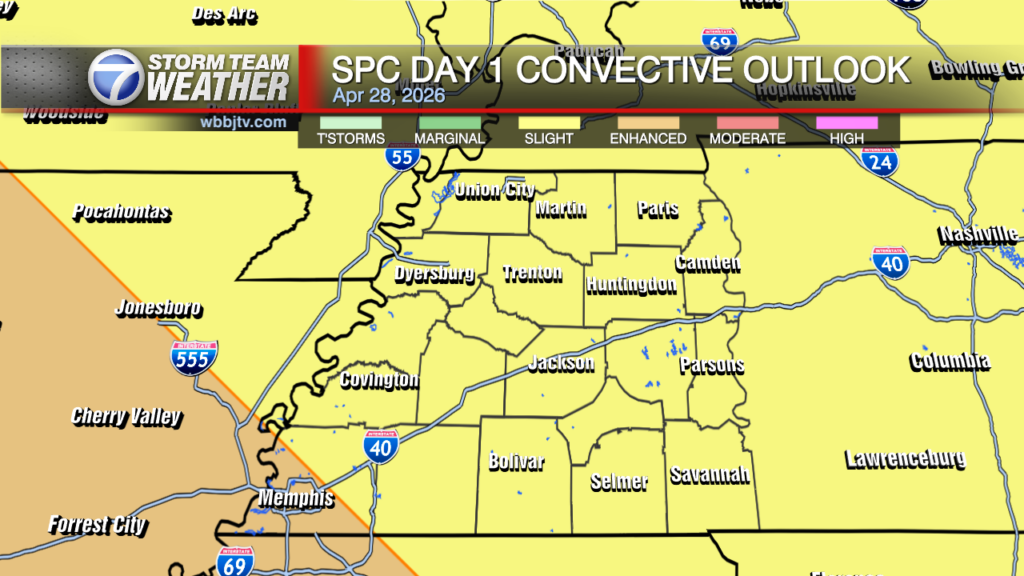
The severe weather threat appears to be over for West Tennessee tonight. The light rain and clouds this afternoon have stopped the atmosphere from charging back up before the cold front moves through the next few hours. The front will bring some pockets or moderate rainfall, but strong winds, or even lightning seems unlikely for most if not all of us as the front slides by. We will be dropping down into the 30s though tonight and a freeze looks to be coming early next week too behind Sunday’s cold front. Catch the latest forecast information on our next chance for showers and storms coming up here.

THIS WEEK:
A round of gusty storms moved through Wednesday in the morning and early afternoon hours. The strongest storms hit McNairy and Hardin counties between noon and 1pm. The storms moved out of our area by 2pm and some light to moderate showers continued into the afternoon. The cold front will move through this evening and bring one last round of rain showers with it. Although a couple lightning strikes cannot be ruled out, severe storms look highly unlikely at this time. The rain should wrap up a little after sunset here in West Tennessee. Highs on Wednesday reached the mid 70s and we saw a mostly cloudy day as well. The winds were quite breezy at times with the approaching front and came out of the southwest before they will shift to the northwest Wednesday night into Thursday morning as the cold front passes by. We should fall all the way down to the mid to upper 30s overnight.

Thursday and Friday are looking like really nice days for all of West Tennessee. Thursday will be cooler with highs reaching the upper 50s and Friday we should warm back up to the upper 60s to near 70°. The humidity will be low on Thursday but will increase some this weekend again. Thursday night lows will fall down to around 40° and even some upper 30s will be possible for some of us. Friday night lows will be higher, but it will still be a bit chilly to kick off the weekend into the mid 40s. Expect sunny skies for the most part on Thursday and Friday and the winds will come out of the north on Thursday but slowly move back to the south during the day on Friday!

THIS WEEKEND:


Storm Team Chief Meteorologist
Joel Barnes
Facebook: @JoelBarnesWeather
Twitter: @JoelBarnes13
Instagram: @joelbarnes13